
EPW009814 ENGLAND (1924). Wembley Urban District Council Sewage Disposal Works, Alperton, 1924

© Copyright OpenStreetMap contributors and licensed by the OpenStreetMap Foundation. 2026. Cartography is licensed as CC BY-SA.
Nearby Images (2)
EPW009814

EAW048756

Details
| Title | [EPW009814] Wembley Urban District Council Sewage Disposal Works, Alperton, 1924 |
| Reference | EPW009814 |
| Date | March-1924 |
| Link | |
| Place name | ALPERTON |
| Parish | |
| District | |
| Country | ENGLAND |
| Easting / Northing | 517896, 183030 |
| Longitude / Latitude | -0.30006122993899, 51.533370420785 |
| National Grid Reference | TQ179830 |
Pins

Kevin8901 |
Monday 6th of April 2020 02:40:15 PM | |
|
The Laird |
Friday 3rd of February 2017 07:29:51 PM | |

Class31 |
Monday 24th of March 2014 12:17:58 PM | |
|
Class31 |
Monday 24th of March 2014 12:14:22 PM | |
|
Class31 |
Monday 24th of March 2014 10:01:58 AM | |
|
Class31 |
Monday 24th of March 2014 10:01:14 AM | |
|
Class31 |
Monday 24th of March 2014 09:53:29 AM | |
|
Class31 |
Monday 24th of March 2014 09:49:44 AM | |
|
Class31 |
Monday 24th of March 2014 09:46:39 AM | |
|
Class31 |
Monday 24th of March 2014 09:45:58 AM | |
|
boltie |
Thursday 20th of February 2014 05:36:54 PM | |
|
Class31 |
Tuesday 7th of January 2014 08:45:33 PM | |
Great Western Railway line Paddington to High Wycombe |
Class31 |
Monday 24th of March 2014 09:56:08 AM |
|
Graeme |
Friday 27th of December 2013 10:13:15 PM | |
|
Tony D |
Monday 8th of July 2013 01:11:52 PM | |
|
BigglesH |
Monday 1st of July 2013 01:17:25 AM | |
River Brent |
Class31 |
Monday 24th of March 2014 09:48:20 AM |
|
BigglesH |
Monday 1st of July 2013 01:16:25 AM | |
It is the River Brent. |
Howard |
Sunday 14th of June 2015 03:32:24 PM |
|
BigglesH |
Monday 1st of July 2013 01:10:36 AM | |
|
BigglesH |
Monday 1st of July 2013 01:07:10 AM | |
I would have thought that this is the blurred wingtip of the aircraft taking the picture. |
Tony D |
Tuesday 2nd of July 2013 11:37:28 PM |
User Comment Contributions
Thanks for the location data and all the useful pins. We’ll update the catalogue and post the new details here in due course. Yours, Katy Britain from Above Cataloguing Team Leader |
Katy Whitaker |
Wednesday 30th of April 2014 11:27:49 AM |
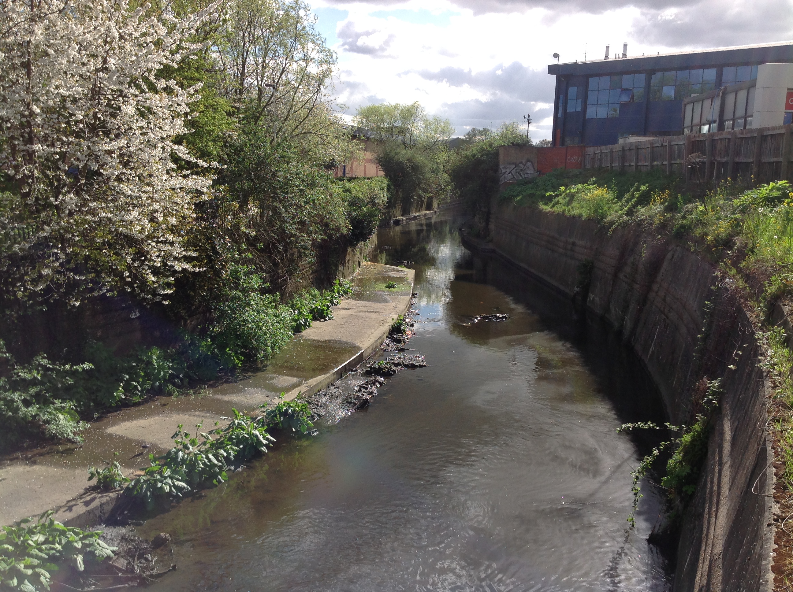
Looking south west from Vicar's Bridge showing the River Brent 08/04/2014 |
Class31 |
Tuesday 8th of April 2014 09:02:19 PM |
Hi All Many thanks for all the contributions. Our cataloguing team will look into this one and check out the suggestions as soon as they can. Many thanks, Liz |
Liz Fife-Faulkner |
Monday 24th of March 2014 12:01:44 PM |
Hanger Lane at the junction with Alperton Lane looking east. Everthing fits with this location. See EPW009227 which covers some of the area. |
Class31 |
Monday 24th of March 2014 10:06:21 AM |
View is looking east. |
Class31 |
Monday 24th of March 2014 09:48:58 AM |
EUREKA |
Class31 |
Monday 24th of March 2014 09:42:08 AM |
Shadows suggest picture taken from West/ North-west. |
BigglesH |
Monday 1st of July 2013 01:19:36 AM |