
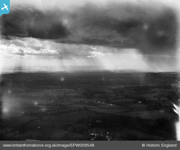
EPW009548 ENGLAND (1923). Countryside around Headstone Lane, Harrow Weald, from the north-east, 1923
© Copyright OpenStreetMap contributors and licensed by the OpenStreetMap Foundation. 2026. Cartography is licensed as CC BY-SA.
Nearby Images (2)
EPW009548

EPW035063

Details
| Title | [EPW009548] Countryside around Headstone Lane, Harrow Weald, from the north-east, 1923 |
| Reference | EPW009548 |
| Date | 1923 |
| Link | |
| Place name | HARROW WEALD |
| Parish | |
| District | |
| Country | ENGLAND |
| Easting / Northing | 514489, 190770 |
| Longitude / Latitude | -0.34664200990128, 51.603643986041 |
| National Grid Reference | TQ145908 |
Pins

Class31 |
Wednesday 5th of June 2013 08:51:24 PM | |
|
Class31 |
Wednesday 5th of June 2013 08:47:21 PM | |
|
Class31 |
Wednesday 5th of June 2013 08:45:43 PM | |
|
Class31 |
Wednesday 5th of June 2013 08:43:33 PM | |
|
Class31 |
Wednesday 5th of June 2013 08:39:53 PM | |
|
Class31 |
Wednesday 5th of June 2013 08:39:19 PM |
User Comment Contributions
Eureka This is the West Coast Main Line at Headstone Lane. The field boundaries match with the Ordnance Survey map for 1897. I shall fill in the details. |
Class31 |
Monday 1st of July 2013 01:27:14 PM |
That's an amazing spot Class31. The original Aerofilms Ltd Register entry just says "Clouds". We'll update the catalogue, and post the new data here in due course. Yours, Katy Britain from Above Cataloguing Team Leader |
Katy Whitaker |
Monday 1st of July 2013 01:27:14 PM |
View is looking south west. |
Class31 |
Wednesday 5th of June 2013 08:40:48 PM |