
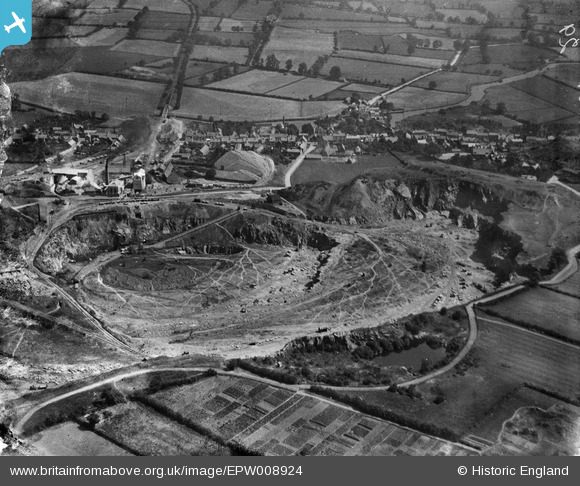
EPW008924 ENGLAND (1923). Mountsorrel Quarries, Mountsorrel, 1923
© Copyright OpenStreetMap contributors and licensed by the OpenStreetMap Foundation. 2026. Cartography is licensed as CC BY-SA.
Nearby Images (11)
EPW008924

EPW008917

EPW016808

EPW008916

EPW008922

EPW008920

EPW008923

EPW008915

EPW008919

EPW008918

EPW008914

Details
| Title | [EPW008924] Mountsorrel Quarries, Mountsorrel, 1923 |
| Reference | EPW008924 |
| Date | July-1923 |
| Link | |
| Place name | MOUNTSORREL |
| Parish | MOUNTSORREL |
| District | |
| Country | ENGLAND |
| Easting / Northing | 457841, 314956 |
| Longitude / Latitude | -1.1433874954724, 52.728808998289 |
| National Grid Reference | SK578150 |
Pins

Keith |
Thursday 24th of July 2014 01:07:18 PM | |
|
Keith |
Thursday 24th of July 2014 09:46:11 AM | |
|
Keith |
Thursday 24th of July 2014 08:54:24 AM | |
|
Keith |
Thursday 24th of July 2014 08:53:28 AM | |
|
Keith |
Thursday 24th of July 2014 08:52:20 AM |