
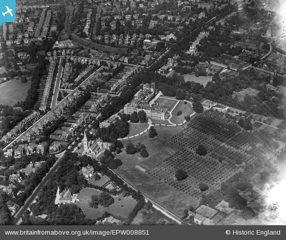
EPW008851 ENGLAND (1923). The Royal Hospital, Putney, 1923
© Copyright OpenStreetMap contributors and licensed by the OpenStreetMap Foundation. 2026. Cartography is licensed as CC BY-SA.
Nearby Images (4)
EPW008851

EPW008850

EPW008849

EPW053658

Details
| Title | [EPW008851] The Royal Hospital, Putney, 1923 |
| Reference | EPW008851 |
| Date | 7-July-1923 |
| Link | |
| Place name | PUTNEY |
| Parish | |
| District | |
| Country | ENGLAND |
| Easting / Northing | 524178, 174031 |
| Longitude / Latitude | -0.21269430630373, 51.451139190265 |
| National Grid Reference | TQ242740 |
Pins

Dom |
Tuesday 12th of May 2020 03:46:56 PM | |
|
Dom |
Tuesday 12th of May 2020 03:46:07 PM | |
|
DOL123 |
Monday 16th of April 2018 11:00:21 AM | |
I think your pin for Whitelands is slightly too far south. I've marked it the hospital side of what was to be an extended Sutherland Grove, opposite Melrose Road. |
Dom |
Tuesday 12th of May 2020 03:45:38 PM |
|
brianbeckett |
Tuesday 30th of September 2014 05:35:56 PM | |
|
Wordy |
Sunday 4th of May 2014 10:01:03 AM |