
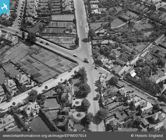
EPW007914 ENGLAND (1922). The junction of Ditton Road and Upper Brighton Road, Southborough, 1922
© Copyright OpenStreetMap contributors and licensed by the OpenStreetMap Foundation. 2025. Cartography is licensed as CC BY-SA.
Nearby Images (3)
EPW007914

EPW007913

EPW008690

Details
| Title | [EPW007914] The junction of Ditton Road and Upper Brighton Road, Southborough, 1922 |
| Reference | EPW007914 |
| Date | May-1922 |
| Link | |
| Place name | SOUTHBOROUGH |
| Parish | |
| District | |
| Country | ENGLAND |
| Easting / Northing | 518347, 166244 |
| Longitude / Latitude | -0.29917997267421, 51.382393520189 |
| National Grid Reference | TQ183662 |
Pins

Pip |
Thursday 2nd of January 2014 04:36:48 PM | |
|
Robert |
Saturday 15th of June 2013 02:27:21 PM | |
|
Robert |
Saturday 15th of June 2013 02:26:57 PM | |
|
Isleworth1961 |
Sunday 9th of June 2013 11:42:45 PM | |

Dylan Moore |
Saturday 4th of May 2013 03:56:25 PM | |
|
Dylan Moore |
Saturday 4th of May 2013 03:55:51 PM | |
|
Dylan Moore |
Saturday 4th of May 2013 03:55:32 PM | |
|
Dylan Moore |
Saturday 4th of May 2013 03:55:02 PM | |
Hi Dylan, thanks for identifying the roads to help us line up the junction; we'll update the catalogue, and post the new record here in due course. Yours, Katy Britain from Above Cataloguing Team Leader |
Katy Whitaker |
Monday 1st of July 2013 12:47:33 PM |