
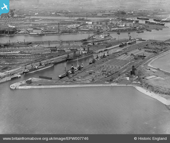
EPW007746 ENGLAND (1922). Ramsden Dock Basin and lock, Barrow-in-Furness, 1922
© Copyright OpenStreetMap contributors and licensed by the OpenStreetMap Foundation. 2026. Cartography is licensed as CC BY-SA.
Nearby Images (5)
EPW007746

EPW007742

EPW007747

EPW004066

EPW007745

Details
| Title | [EPW007746] Ramsden Dock Basin and lock, Barrow-in-Furness, 1922 |
| Reference | EPW007746 |
| Date | April-1922 |
| Link | |
| Place name | BARROW-IN-FURNESS |
| Parish | |
| District | |
| Country | ENGLAND |
| Easting / Northing | 320136, 467236 |
| Longitude / Latitude | -3.2212942965972, 54.094639730232 |
| National Grid Reference | SD201672 |
Pins

lesgilpin |
Wednesday 29th of April 2015 09:20:13 AM | |
|
lesgilpin |
Wednesday 29th of April 2015 09:18:43 AM | |
|
lesgilpin |
Wednesday 29th of April 2015 09:16:54 AM | |
|
lesgilpin |
Wednesday 29th of April 2015 09:16:13 AM | |
|
lesgilpin |
Wednesday 29th of April 2015 09:15:44 AM |