
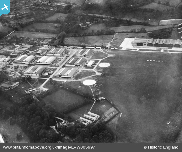
EPW005997 ENGLAND (1921). Kenley Aerodrome, Kenley, 1921. This image has been produced from a print.
© Copyright OpenStreetMap contributors and licensed by the OpenStreetMap Foundation. 2026. Cartography is licensed as CC BY-SA.
Nearby Images (2)
EPW005997

EPW017127

Details
| Title | [EPW005997] Kenley Aerodrome, Kenley, 1921. This image has been produced from a print. |
| Reference | EPW005997 |
| Date | 1-May-1921 |
| Link | |
| Place name | KENLEY |
| Parish | |
| District | |
| Country | ENGLAND |
| Easting / Northing | 533018, 157607 |
| Longitude / Latitude | -0.091682633892616, 51.301517374347 |
| National Grid Reference | TQ330576 |

