
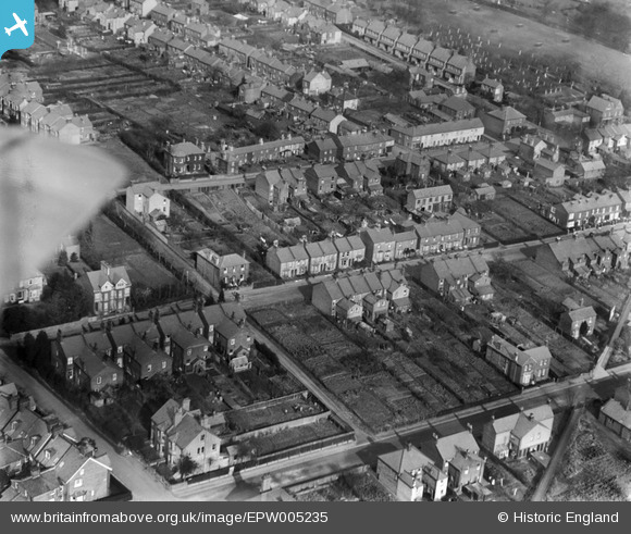
EPW005235 ENGLAND (1921). Horsecroft Road area, Boxmoor, 1921
© Copyright OpenStreetMap contributors and licensed by the OpenStreetMap Foundation. 2026. Cartography is licensed as CC BY-SA.
Nearby Images (4)
EPW005235

EPW005238

EPW005236

EPW005237

Details
| Title | [EPW005235] Horsecroft Road area, Boxmoor, 1921 |
| Reference | EPW005235 |
| Date | January-1921 |
| Link | |
| Place name | BOXMOOR |
| Parish | |
| District | |
| Country | ENGLAND |
| Easting / Northing | 504361, 206337 |
| Longitude / Latitude | -0.48819226855653, 51.74554595725 |
| National Grid Reference | TL044063 |
Pins

neil_jarv |
Tuesday 4th of June 2024 11:06:03 AM | |
|
Allgoodbruv |
Monday 6th of April 2020 10:56:44 AM |