
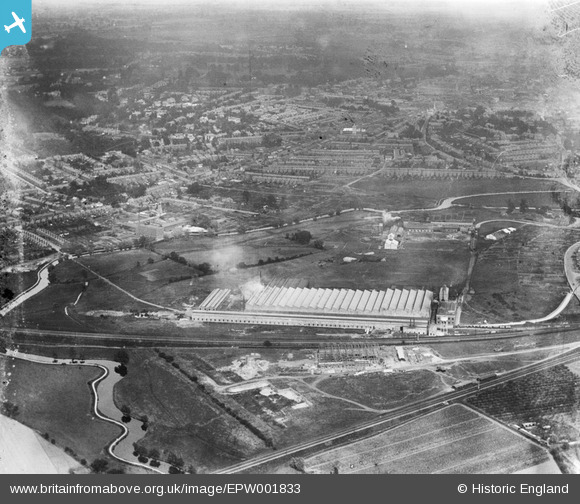
EPW001833 ENGLAND (1920). View over Ipswich and the Ipswich and Handford Works, Ipswich, 1920
© Copyright OpenStreetMap contributors and licensed by the OpenStreetMap Foundation. 2026. Cartography is licensed as CC BY-SA.
Nearby Images (2)
EPW001833

EPW032872

Details
| Title | [EPW001833] View over Ipswich and the Ipswich and Handford Works, Ipswich, 1920 |
| Reference | EPW001833 |
| Date | June-1920 |
| Link | |
| Place name | IPSWICH |
| Parish | |
| District | |
| Country | ENGLAND |
| Easting / Northing | 614807, 244965 |
| Longitude / Latitude | 1.1339291302517, 52.06092833837 |
| National Grid Reference | TM148450 |
Pins

John W |
Saturday 21st of January 2017 04:36:46 PM | |
|
Dazza |
Monday 22nd of October 2012 09:43:56 AM |