
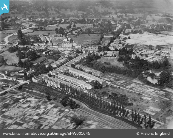
EPW001645 ENGLAND (1920). Totteridge Lane and environs, Whetstone, 1920. This image has been produced from a copy-negative.
© Copyright OpenStreetMap contributors and licensed by the OpenStreetMap Foundation. 2026. Cartography is licensed as CC BY-SA.
Nearby Images (2)
EPW001645

EPW001644

Details
| Title | [EPW001645] Totteridge Lane and environs, Whetstone, 1920. This image has been produced from a copy-negative. |
| Reference | EPW001645 |
| Date | June-1920 |
| Link | |
| Place name | WHETSTONE |
| Parish | |
| District | |
| Country | ENGLAND |
| Easting / Northing | 526290, 193860 |
| Longitude / Latitude | -0.17519634664743, 51.628893032072 |
| National Grid Reference | TQ263939 |
Pins

TimB |
Sunday 3rd of January 2016 06:49:14 PM |