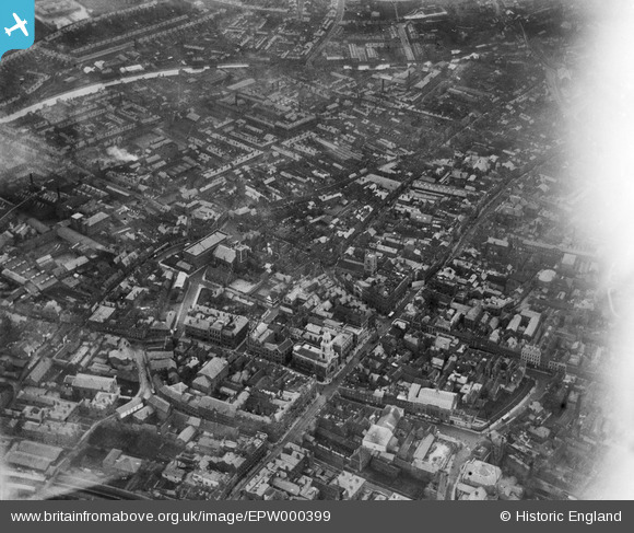
EPW000399 ENGLAND (1920). Worcester, 1920
© Copyright OpenStreetMap contributors and licensed by the OpenStreetMap Foundation. 2026. Cartography is licensed as CC BY-SA.
Nearby Images (11)
EPW000399

EPW005406

EAW003989

EPW001298

EPW005410

EPW048088

EPW005407

EPW000204

EPW001302

EPW000211

EPW005415

Details
| Title | [EPW000399] Worcester, 1920 |
| Reference | EPW000399 |
| Date | April-1920 |
| Link | |
| Place name | WORCESTER |
| Parish | |
| District | |
| Country | ENGLAND |
| Easting / Northing | 385082, 254953 |
| Longitude / Latitude | -2.2182604977256, 52.192211670958 |
| National Grid Reference | SO851550 |
Pins

Class31 |
Wednesday 18th of May 2016 05:44:38 PM | |
|
Class31 |
Wednesday 18th of May 2016 05:42:33 PM | |
|
Class31 |
Wednesday 18th of May 2016 07:16:13 AM | |
|
Class31 |
Wednesday 18th of May 2016 07:10:58 AM | |

MICK C |
Sunday 21st of February 2016 03:25:34 PM | |
|
MICK C |
Sunday 21st of February 2016 03:18:10 PM | |
|
MICK C |
Sunday 21st of February 2016 03:16:58 PM | |
|
MICK C |
Sunday 21st of February 2016 03:16:06 PM | |
|
MICK C |
Sunday 21st of February 2016 03:14:44 PM | |
|
MICK C |
Sunday 21st of February 2016 03:13:33 PM | |
|
MICK C |
Sunday 21st of February 2016 03:12:44 PM | |
|
Class31 |
Monday 18th of February 2013 05:02:07 PM |