
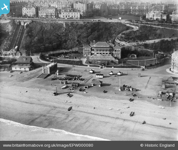
EPW000080 ENGLAND (1920). Folkestone Lido, Folkestone, 1920
© Copyright OpenStreetMap contributors and licensed by the OpenStreetMap Foundation. 2026. Cartography is licensed as CC BY-SA.
Nearby Images (18)
EPW000080

EPW000362

EPW009202

EPW009200

EPW009195

EPW019064

EAW002851

EAW024825

EPW042868

EPW000587

EPW000083

EPW042870

EAW024832

EPW019063

EPW035409

EPW035417

EAW002852

EAW002372

Details
| Title | [EPW000080] Folkestone Lido, Folkestone, 1920 |
| Reference | EPW000080 |
| Date | February-1920 |
| Link | |
| Place name | FOLKESTONE |
| Parish | FOLKESTONE |
| District | |
| Country | ENGLAND |
| Easting / Northing | 622826, 135642 |
| Longitude / Latitude | 1.1813982492417, 51.076234575188 |
| National Grid Reference | TR228356 |
Pins

Roscoe |
Saturday 21st of November 2015 08:51:55 PM | |
|
Roscoe |
Saturday 21st of November 2015 08:50:10 PM | |
|
Paolo |
Saturday 14th of July 2012 02:11:43 PM | |
|
Paolo |
Saturday 14th of July 2012 02:10:09 PM | |
|
Paolo |
Saturday 14th of July 2012 02:07:58 PM |