
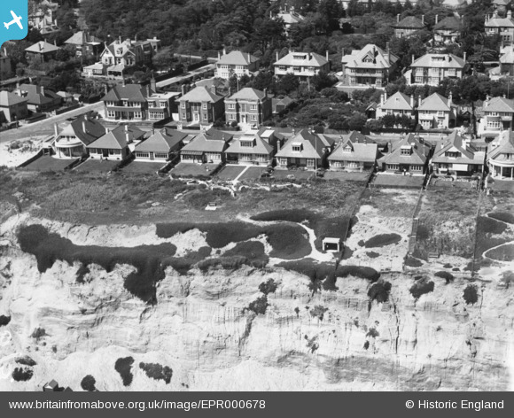
EPR000678 ENGLAND (1935). Houses on Southbourne Overcliff Drive, Southbourne, 1935
© Copyright OpenStreetMap contributors and licensed by the OpenStreetMap Foundation. 2025. Cartography is licensed as CC BY-SA.
Nearby Images (2)
EPR000678

EPR000679

Details
| Title | [EPR000678] Houses on Southbourne Overcliff Drive, Southbourne, 1935 |
| Reference | EPR000678 |
| Date | 26-June-1935 |
| Link | |
| Place name | SOUTHBOURNE |
| Parish | |
| District | |
| Country | ENGLAND |
| Easting / Northing | 413883, 91279 |
| Longitude / Latitude | -1.8033115243332, 50.720396908622 |
| National Grid Reference | SZ139913 |
Pins
Be the first to add a comment to this image!