
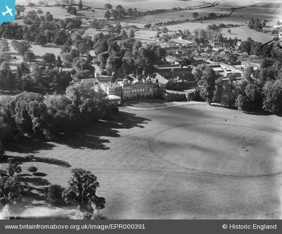
EPR000391 ENGLAND (1934). Badminton House, Badminton, 1934
© Copyright OpenStreetMap contributors and licensed by the OpenStreetMap Foundation. 2025. Cartography is licensed as CC BY-SA.
Nearby Images (2)
EPR000391

EPR000392

Details
| Title | [EPR000391] Badminton House, Badminton, 1934 |
| Reference | EPR000391 |
| Date | 28-September-1934 |
| Link | |
| Place name | BADMINTON |
| Parish | BADMINTON |
| District | |
| Country | ENGLAND |
| Easting / Northing | 380677, 182966 |
| Longitude / Latitude | -2.2786784519401, 51.544779707192 |
| National Grid Reference | ST807830 |
Pins
Be the first to add a comment to this image!