
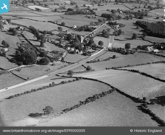
EPR000305 ENGLAND (1934). The village, Heversham, 1934
© Copyright OpenStreetMap contributors and licensed by the OpenStreetMap Foundation. 2025. Cartography is licensed as CC BY-SA.
Nearby Images (4)
EPR000305

EPR000304
, Heversham, 1934")
EPR000301
, Heversham, 1934")
EPR000306

Details
| Title | [EPR000305] The village, Heversham, 1934 |
| Reference | EPR000305 |
| Date | 30-August-1934 |
| Link | |
| Place name | HEVERSHAM |
| Parish | HEVERSHAM |
| District | |
| Country | ENGLAND |
| Easting / Northing | 349491, 483551 |
| Longitude / Latitude | -2.7751875229847, 54.244991369071 |
| National Grid Reference | SD495836 |
Pins
Be the first to add a comment to this image!