
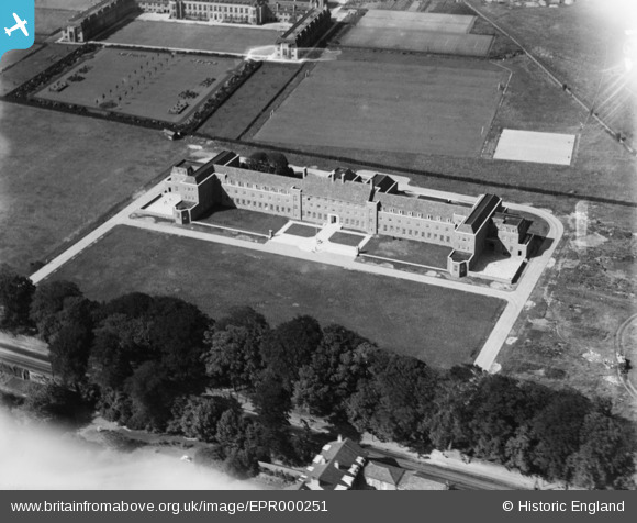
EPR000251 ENGLAND (1934). The Liverpool Orphanage, Childwall, 1934
© Copyright OpenStreetMap contributors and licensed by the OpenStreetMap Foundation. 2026. Cartography is licensed as CC BY-SA.
Nearby Images (4)
EPR000251

EPR000250

EPW037688

EPR000241

Details
| Title | [EPR000251] The Liverpool Orphanage, Childwall, 1934 |
| Reference | EPR000251 |
| Date | 16-August-1934 |
| Link | |
| Place name | CHILDWALL |
| Parish | |
| District | |
| Country | ENGLAND |
| Easting / Northing | 340935, 388422 |
| Longitude / Latitude | -2.8882174282701, 53.389067254417 |
| National Grid Reference | SJ409884 |
Pins

Strider |
Monday 2nd of January 2023 06:59:04 PM | |
|
Strider |
Monday 2nd of January 2023 06:55:23 PM |