
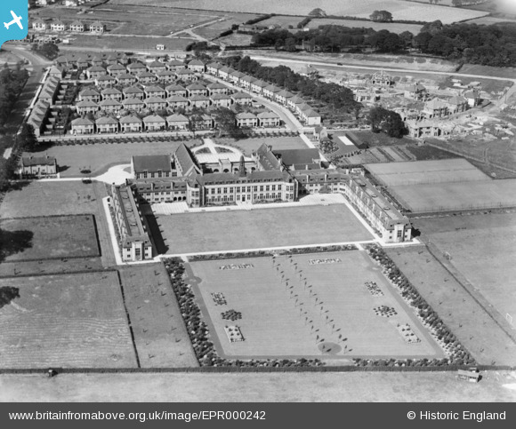
EPR000242 ENGLAND (1934). Warrington Training College, Childwall, 1934
© Copyright OpenStreetMap contributors and licensed by the OpenStreetMap Foundation. 2026. Cartography is licensed as CC BY-SA.
Nearby Images (3)
EPR000242

EPW037685

EPR000241

Details
| Title | [EPR000242] Warrington Training College, Childwall, 1934 |
| Reference | EPR000242 |
| Date | 16-August-1934 |
| Link | |
| Place name | CHILDWALL |
| Parish | |
| District | |
| Country | ENGLAND |
| Easting / Northing | 340851, 388685 |
| Longitude / Latitude | -2.8895297363617, 53.391421838269 |
| National Grid Reference | SJ409887 |
Pins
Be the first to add a comment to this image!