
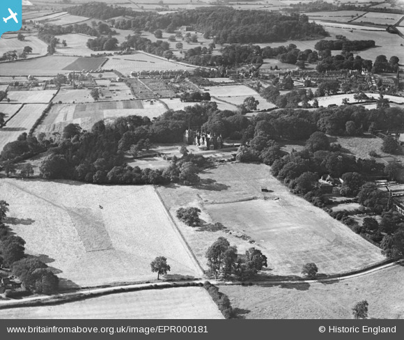
EPR000181 ENGLAND (1934). Bramcote Hall and environs, Bramcote, 1934
© Copyright OpenStreetMap contributors and licensed by the OpenStreetMap Foundation. 2026. Cartography is licensed as CC BY-SA.
Nearby Images (8)
EPR000181

EPR000180

EPR000175

EPR000173

EPR000178

EPR000177

EPR000179

EPR000176

Details
| Title | [EPR000181] Bramcote Hall and environs, Bramcote, 1934 |
| Reference | EPR000181 |
| Date | 9-July-1934 |
| Link | |
| Place name | BRAMCOTE |
| Parish | |
| District | |
| Country | ENGLAND |
| Easting / Northing | 450569, 337235 |
| Longitude / Latitude | -1.247621072471, 52.929819546037 |
| National Grid Reference | SK506372 |
Pins
Be the first to add a comment to this image!