
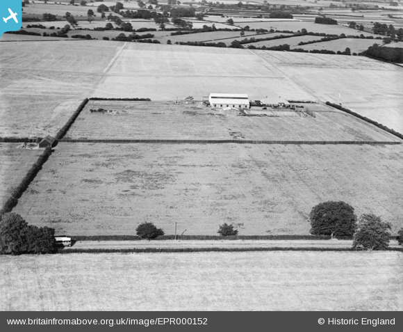
EPR000152 ENGLAND (1934). Tollerton Aerodrome, Tollerton, 1934
© Copyright OpenStreetMap contributors and licensed by the OpenStreetMap Foundation. 2026. Cartography is licensed as CC BY-SA.
Nearby Images (18)
EPR000152

EAW016195

EAW016192

EAW009528
, Tollerton, 1947")
EAW016193

EAW009529
, Tollerton, 1947")
EAW048689
, Tollerton, 1953. This image was marked by Aerofilms Ltd for photo editing.")
EAW016194
 at Tollerton Airfield, Tollerton, 1948. This image has been produced from a damaged negative.")
EAW009527
, Tollerton, 1947")
EAW048690
, Tollerton, 1953. This image was marked by Aerofilms Ltd for photo editing.")
EPW034048

EPW034044

EPW034045
 in hangar, Tollerton, 1930. This image has been affected by flare.")
EPW035994

EPW034047

EPW035993

EPW034043

EAW048688
, Tollerton, 1953. This image was marked by Aerofilms Ltd for photo editing.")
Details
| Title | [EPR000152] Tollerton Aerodrome, Tollerton, 1934 |
| Reference | EPR000152 |
| Date | 9-July-1934 |
| Link | |
| Place name | TOLLERTON |
| Parish | TOLLERTON |
| District | |
| Country | ENGLAND |
| Easting / Northing | 461672, 336033 |
| Longitude / Latitude | -1.0826771702733, 52.917853930509 |
| National Grid Reference | SK617360 |
Pins
Be the first to add a comment to this image!