
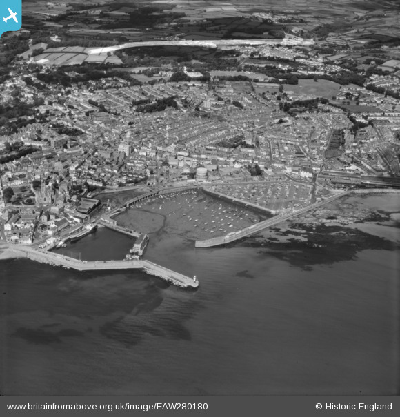
EAW280180 ENGLAND (1974). Town and harbour, Penzance, 1974
© Copyright OpenStreetMap contributors and licensed by the OpenStreetMap Foundation. 2026. Cartography is licensed as CC BY-SA.
Nearby Images (3)
EAW280180

EPW039841

EPW039838

Details
| Title | [EAW280180] Town and harbour, Penzance, 1974 |
| Reference | EAW280180 |
| Date | 17-July-1974 |
| Link | |
| Place name | PENZANCE |
| Parish | PENZANCE |
| District | |
| Country | ENGLAND |
| Easting / Northing | 147573, 30305 |
| Longitude / Latitude | -5.5316323894945, 50.118426913369 |
| National Grid Reference | SW476303 |
