
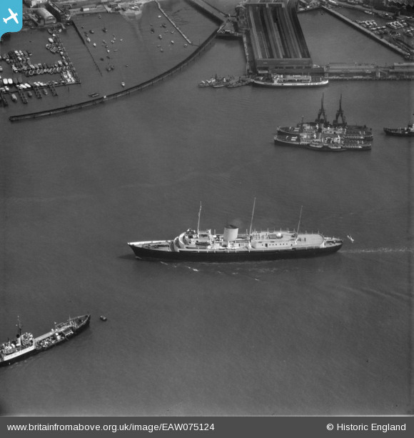
EAW075124 ENGLAND (1959). The Royal Yacht, HMY Britannia, Portsmouth Harbour, 1959
© Copyright OpenStreetMap contributors and licensed by the OpenStreetMap Foundation. 2026. Cartography is licensed as CC BY-SA.
Nearby Images (2)
EAW075124

EAW178152

Details
| Title | [EAW075124] The Royal Yacht, HMY Britannia, Portsmouth Harbour, 1959 |
| Reference | EAW075124 |
| Date | 8-May-1959 |
| Link | |
| Place name | PORTSMOUTH HARBOUR STATION |
| Parish | NON CIVIL PARISH |
| District | |
| Country | ENGLAND |
| Easting / Northing | 462741, 100099 |
| Longitude / Latitude | -1.109662623679, 50.796489332909 |
| National Grid Reference | SU627001 |
Pins

mannidaze |
Thursday 24th of January 2019 03:43:32 PM | |
|
mannidaze |
Thursday 24th of January 2019 03:40:25 PM | |
|
elanbretta |
Wednesday 9th of December 2015 01:48:51 PM |