
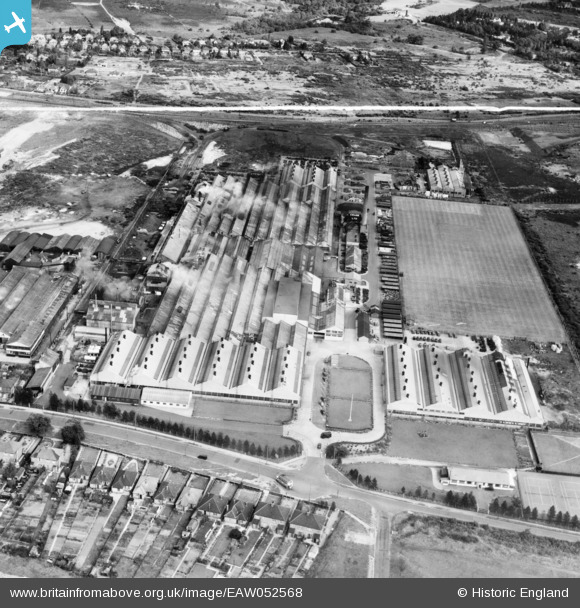
EAW052568 ENGLAND (1953). The Crane Ltd Nacton Works, Priory Heath, 1953. This image was marked by Aerofilms Ltd for photo editing.
© Copyright OpenStreetMap contributors and licensed by the OpenStreetMap Foundation. 2026. Cartography is licensed as CC BY-SA.
Nearby Images (21)
EAW052568

EPW046600

EPW046595

EPW046597

EPW046598

EPW046604

EPW046605

EAW052569

EPW046602

EAW052567

EPW046601

EAW052571

EPW046599

EAW052570

EPW046596

EPW032870

EAW052574

EAW052572

EPW032869

EPW046603

EAW052573

Details
| Title | [EAW052568] The Crane Ltd Nacton Works, Priory Heath, 1953. This image was marked by Aerofilms Ltd for photo editing. |
| Reference | EAW052568 |
| Date | 5-October-1953 |
| Link | |
| Place name | PRIORY HEATH |
| Parish | |
| District | |
| Country | ENGLAND |
| Easting / Northing | 619643, 242012 |
| Longitude / Latitude | 1.2024684974278, 52.032521581786 |
| National Grid Reference | TM196420 |
Pins
Be the first to add a comment to this image!