
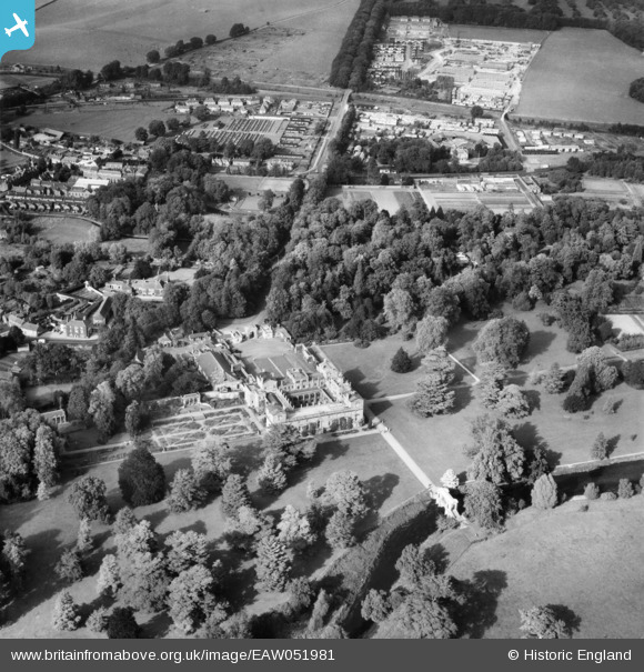
EAW051981 ENGLAND (1953). Wilton House and environs, Wilton, 1953
© Copyright OpenStreetMap contributors and licensed by the OpenStreetMap Foundation. 2026. Cartography is licensed as CC BY-SA.
Nearby Images (6)
EAW051981

EAW051985

EAW051984

EAW051982

EAW051983

EPW033555

Details
| Title | [EAW051981] Wilton House and environs, Wilton, 1953 |
| Reference | EAW051981 |
| Date | 5-September-1953 |
| Link | |
| Place name | WILTON |
| Parish | WILTON |
| District | |
| Country | ENGLAND |
| Easting / Northing | 409997, 131081 |
| Longitude / Latitude | -1.8572764381087, 51.078432258109 |
| National Grid Reference | SU100311 |
Pins
Be the first to add a comment to this image!