
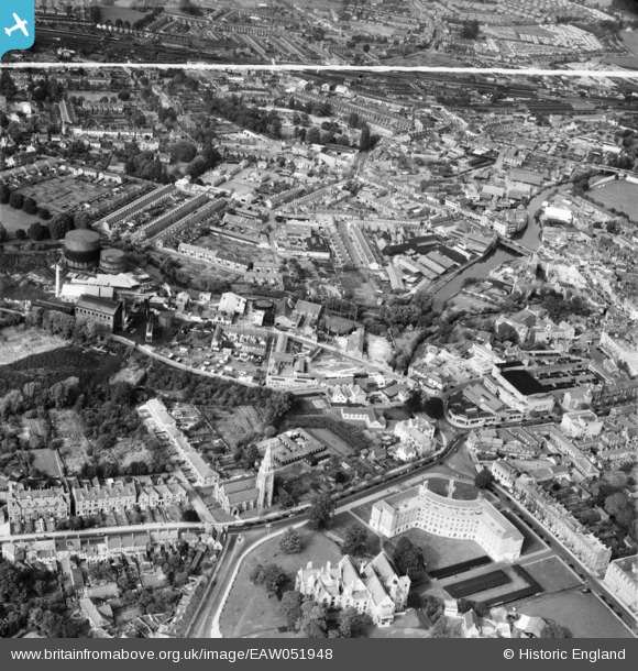
EAW051948 ENGLAND (1953). North Town and environs, Taunton, 1953. This image was marked by Aerofilms Ltd for photo editing.
© Copyright OpenStreetMap contributors and licensed by the OpenStreetMap Foundation. 2026. Cartography is licensed as CC BY-SA.
Nearby Images (17)
EAW051948

EAW049103

EAW005340

EAW005338

EPW041182

EAW005337

EAW005341

EAW005342

EAW005339

EAW015037

EAW049104

EPW041183

EPW041184

EPW041094

EAW051942

EAW051946

EPW013543

Details
| Title | [EAW051948] North Town and environs, Taunton, 1953. This image was marked by Aerofilms Ltd for photo editing. |
| Reference | EAW051948 |
| Date | 30-August-1953 |
| Link | |
| Place name | TAUNTON |
| Parish | |
| District | |
| Country | ENGLAND |
| Easting / Northing | 322421, 124632 |
| Longitude / Latitude | -3.1060765381247, 51.015287258775 |
| National Grid Reference | ST224246 |
Pins

redmist |
Monday 18th of December 2023 08:39:40 PM | |
|
Mon |
Saturday 2nd of November 2019 02:52:42 AM | |
|
LizH |
Friday 31st of March 2017 10:30:29 AM | |
|
LizH |
Friday 31st of March 2017 10:27:25 AM | |
|
LizH |
Friday 31st of March 2017 10:24:01 AM | |
|
LizH |
Friday 31st of March 2017 10:23:01 AM | |
|
Somerset Chick |
Sunday 19th of March 2017 12:12:55 AM | |
|
Somerset Chick |
Sunday 19th of March 2017 12:11:46 AM | |
|
Somerset Chick |
Sunday 19th of March 2017 12:11:02 AM | |
|
Somerset Chick |
Sunday 19th of March 2017 12:10:26 AM | |
|
Somerset Chick |
Sunday 19th of March 2017 12:09:38 AM | |
|
Somerset Chick |
Sunday 19th of March 2017 12:08:52 AM |