
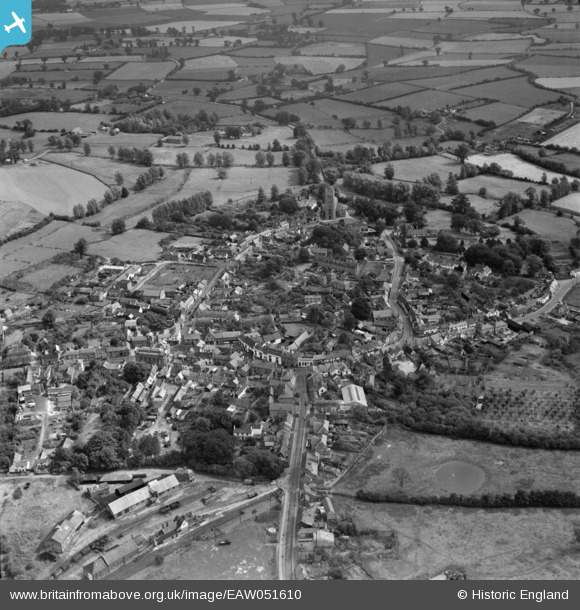
EAW051610 ENGLAND (1953). The town, Eye, 1953
© Copyright OpenStreetMap contributors and licensed by the OpenStreetMap Foundation. 2025. Cartography is licensed as CC BY-SA.
Nearby Images (3)
EAW051610

EAW051608

EAW051609

Details
| Title | [EAW051610] The town, Eye, 1953 |
| Reference | EAW051610 |
| Date | 26-August-1953 |
| Link | |
| Place name | EYE |
| Parish | EYE |
| District | |
| Country | ENGLAND |
| Easting / Northing | 614644, 273804 |
| Longitude / Latitude | 1.1498177623503, 52.31990608017 |
| National Grid Reference | TM146738 |
Pins

clippedwings |
Saturday 28th of March 2015 10:28:40 PM |