
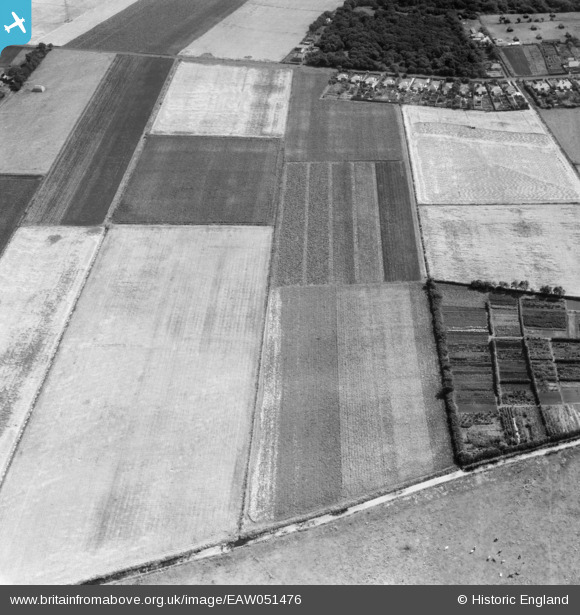
EAW051476 ENGLAND (1953). Fields between Pool Hey Lane and Boundary Brook, Pool Hey, 1953
© Copyright OpenStreetMap contributors and licensed by the OpenStreetMap Foundation. 2026. Cartography is licensed as CC BY-SA.
Nearby Images (4)
EAW051476

EAW051470

EAW051468
 Road and fields around Pool Hey Lane and Pool Hey House, Pool Hey, 1953")
EAW051479

Details
| Title | [EAW051476] Fields between Pool Hey Lane and Boundary Brook, Pool Hey, 1953 |
| Reference | EAW051476 |
| Date | 12-August-1953 |
| Link | |
| Place name | POOL HEY |
| Parish | SCARISBRICK |
| District | |
| Country | ENGLAND |
| Easting / Northing | 336412, 415520 |
| Longitude / Latitude | -2.9617228159107, 53.632103807378 |
| National Grid Reference | SD364155 |
Pins
Be the first to add a comment to this image!