
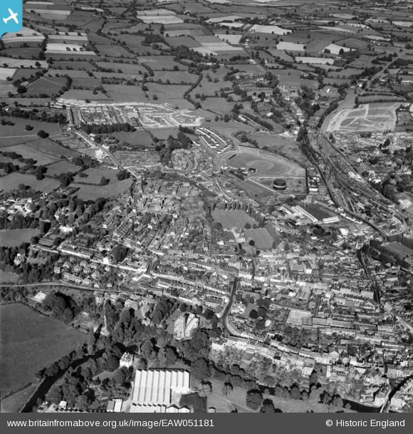
EAW051181 ENGLAND (1953). The town, Tiverton, 1953
© Copyright OpenStreetMap contributors and licensed by the OpenStreetMap Foundation. 2026. Cartography is licensed as CC BY-SA.
Nearby Images (3)
EAW051181

EAW051182

EAW051180

Details
| Title | [EAW051181] The town, Tiverton, 1953 |
| Reference | EAW051181 |
| Date | 6-August-1953 |
| Link | |
| Place name | TIVERTON |
| Parish | TIVERTON |
| District | |
| Country | ENGLAND |
| Easting / Northing | 295873, 112920 |
| Longitude / Latitude | -3.4811120503296, 50.905797528864 |
| National Grid Reference | SS959129 |
Pins
Be the first to add a comment to this image!