
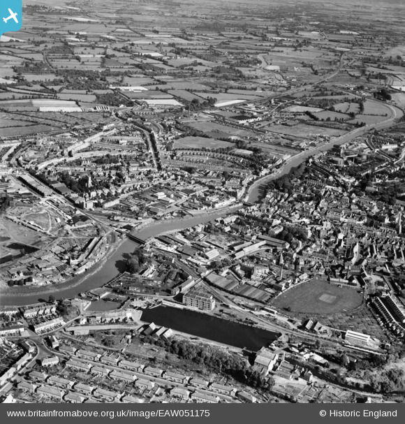
EAW051175 ENGLAND (1953). The River Parrett and the town, Bridgwater, 1953
© Copyright OpenStreetMap contributors and licensed by the OpenStreetMap Foundation. 2026. Cartography is licensed as CC BY-SA.
Nearby Images (8)
EAW051175

EAW051173

EAW051174

EPW027940

EAW051176

EAW051939

EPW039923

EAW051938

Details
| Title | [EAW051175] The River Parrett and the town, Bridgwater, 1953 |
| Reference | EAW051175 |
| Date | 6-August-1953 |
| Link | |
| Place name | BRIDGWATER |
| Parish | BRIDGWATER |
| District | |
| Country | ENGLAND |
| Easting / Northing | 330096, 137185 |
| Longitude / Latitude | -2.9990972620664, 51.129145790908 |
| National Grid Reference | ST301372 |
Pins

gBr |
Tuesday 17th of November 2015 10:08:20 PM |