
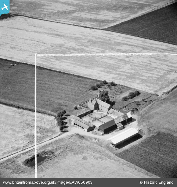
EAW050903 ENGLAND (1953). North Lodge Farm, Leighton Bromswold, 1953. This image was marked by Aerofilms Ltd for photo editing.
© Copyright OpenStreetMap contributors and licensed by the OpenStreetMap Foundation. 2025. Cartography is licensed as CC BY-SA.
Nearby Images (6)
EAW050903

EAW050900

EAW050907

EAW050904

EAW050905

EAW050906

Details
| Title | [EAW050903] North Lodge Farm, Leighton Bromswold, 1953. This image was marked by Aerofilms Ltd for photo editing. |
| Reference | EAW050903 |
| Date | 25-July-1953 |
| Link | |
| Place name | LEIGHTON BROMSWOLD |
| Parish | LEIGHTON |
| District | |
| Country | ENGLAND |
| Easting / Northing | 511418, 276622 |
| Longitude / Latitude | -0.36306792246896, 52.375910361422 |
| National Grid Reference | TL114766 |
Pins
Be the first to add a comment to this image!