
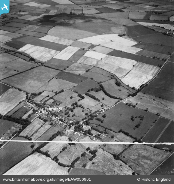
EAW050901 ENGLAND (1953). The village and surrounding countryside, Leighton Bromswold, 1953. This image was marked by Aerofilms Ltd for photo editing.
© Copyright OpenStreetMap contributors and licensed by the OpenStreetMap Foundation. 2025. Cartography is licensed as CC BY-SA.
Nearby Images (2)
EAW050901

EAW050902

Details
| Title | [EAW050901] The village and surrounding countryside, Leighton Bromswold, 1953. This image was marked by Aerofilms Ltd for photo editing. |
| Reference | EAW050901 |
| Date | 25-July-1953 |
| Link | |
| Place name | LEIGHTON BROMSWOLD |
| Parish | LEIGHTON |
| District | |
| Country | ENGLAND |
| Easting / Northing | 511542, 275795 |
| Longitude / Latitude | -0.36152208147515, 52.368452466746 |
| National Grid Reference | TL115758 |
Pins
Be the first to add a comment to this image!