
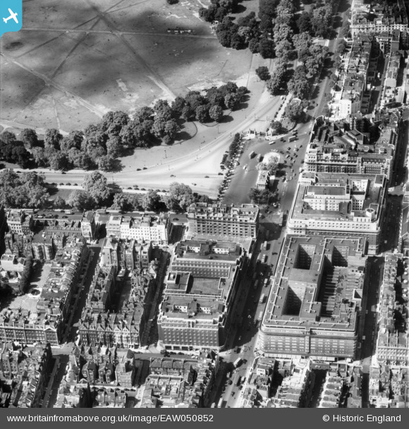
EAW050852 ENGLAND (1953). Marble Arch, Hereford House and environs, Westminster, 1953
© Copyright OpenStreetMap contributors and licensed by the OpenStreetMap Foundation. 2026. Cartography is licensed as CC BY-SA.
Nearby Images (42)
EAW050852

EPW035003

EPW035003
EPW035004

EPW060763

EPW005906

EPW006158

EPW005989

EAW029834

EPW007998

EPW007999

EPW044582

EAW000562

EPW007997

EPW044580

EAW050847

EAW046366

EAW000545

EAW050846

EPW059408

EPW059414

EPW044579

EAW052481

EAW050870

EPW055350

EPW021405

EAW050845

EAW053006

EPW011416

EAW030118

EPR000431

EPW021880

EAW000567

EPW059413

EAW000566

EAW000564

EPW045400

EPW021436

EAW050867

EAW050837

EPW059409

EAW052482

Details
| Title | [EAW050852] Marble Arch, Hereford House and environs, Westminster, 1953 |
| Reference | EAW050852 |
| Date | 23-July-1953 |
| Link | |
| Place name | WESTMINSTER |
| Parish | |
| District | |
| Country | ENGLAND |
| Easting / Northing | 527924, 180944 |
| Longitude / Latitude | -0.15630276136959, 51.512438351072 |
| National Grid Reference | TQ279809 |
Pins
Be the first to add a comment to this image!