
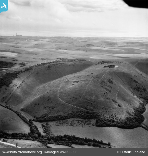
EAW050658 ENGLAND (1953). Devil's Dyke, Poynings, from the north-east, 1953
© Copyright OpenStreetMap contributors and licensed by the OpenStreetMap Foundation. 2026. Cartography is licensed as CC BY-SA.
Nearby Images (3)
EAW050658

EAW050654

EPW043888

Details
| Title | [EAW050658] Devil's Dyke, Poynings, from the north-east, 1953 |
| Reference | EAW050658 |
| Date | 15-July-1953 |
| Link | |
| Place name | POYNINGS |
| Parish | POYNINGS |
| District | |
| Country | ENGLAND |
| Easting / Northing | 526423, 111471 |
| Longitude / Latitude | -0.20240144803247, 50.888319784101 |
| National Grid Reference | TQ264115 |
Pins
Be the first to add a comment to this image!
User Comment Contributions
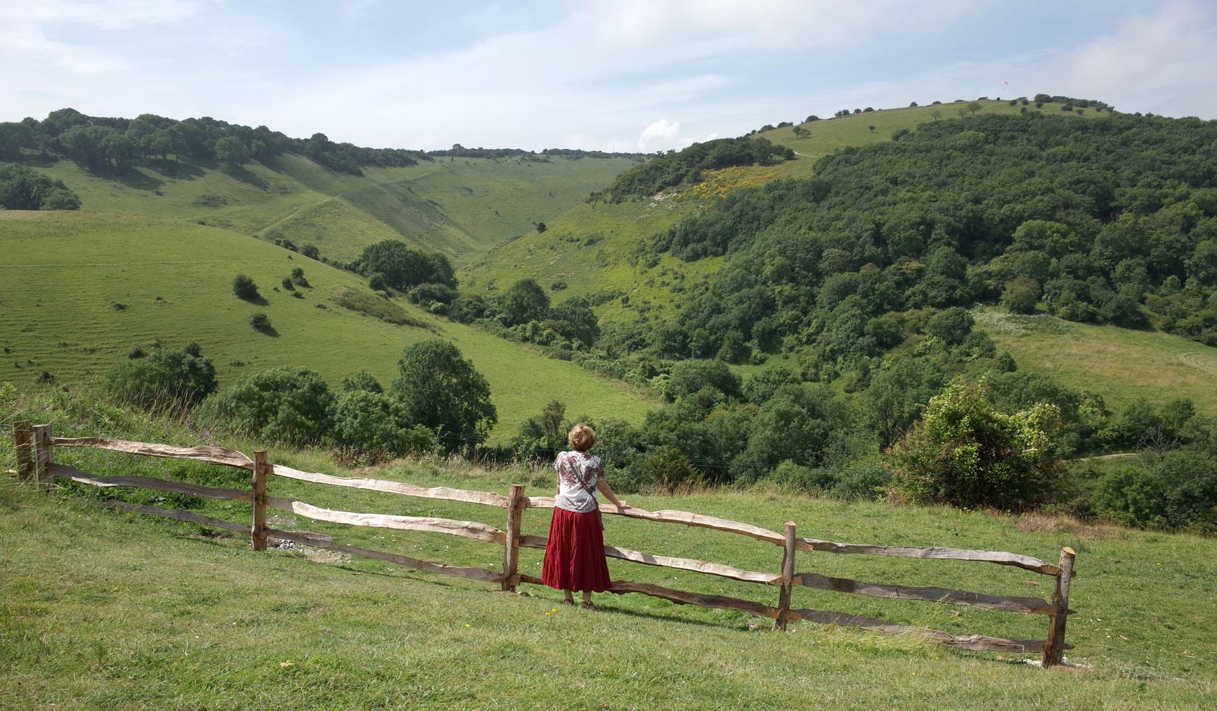
The Devil's Dyke |

Alan McFaden |
Sunday 16th of November 2014 10:44:07 AM |