
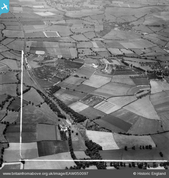
EAW050097 ENGLAND (1953). Mickleton Hills Farm,and orchards around Whaddon Grange, Chipping Campden, 1953. This image was marked by Aerofilms Ltd for photo editing.
© Copyright OpenStreetMap contributors and licensed by the OpenStreetMap Foundation. 2026. Cartography is licensed as CC BY-SA.
Nearby Images (10)
EAW050097

EAW050098

EAW050100

EAW050096

EAW050095

EAW050102

EAW050099

EAW050101

EAW050103

EAW050104

Details
| Title | [EAW050097] Mickleton Hills Farm,and orchards around Whaddon Grange, Chipping Campden, 1953. This image was marked by Aerofilms Ltd for photo editing. |
| Reference | EAW050097 |
| Date | 26-June-1953 |
| Link | |
| Place name | CHIPPING CAMPDEN |
| Parish | CHIPPING CAMPDEN |
| District | |
| Country | ENGLAND |
| Easting / Northing | 416233, 239921 |
| Longitude / Latitude | -1.7632177499174, 52.057014697196 |
| National Grid Reference | SP162399 |
Pins
Be the first to add a comment to this image!