
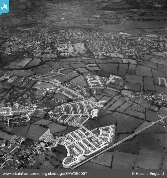
EAW050087 ENGLAND (1953). The development of the New Marston area and the city of Oxford, New Marston, 1953
© Copyright OpenStreetMap contributors and licensed by the OpenStreetMap Foundation. 2026. Cartography is licensed as CC BY-SA.
Nearby Images (3)
EAW050087

EAW003913

EAW050085

Details
| Title | [EAW050087] The development of the New Marston area and the city of Oxford, New Marston, 1953 |
| Reference | EAW050087 |
| Date | 26-June-1953 |
| Link | |
| Place name | NEW MARSTON |
| Parish | |
| District | |
| Country | ENGLAND |
| Easting / Northing | 452740, 207773 |
| Longitude / Latitude | -1.2356662457304, 51.765697036227 |
| National Grid Reference | SP527078 |
Pins
Be the first to add a comment to this image!