
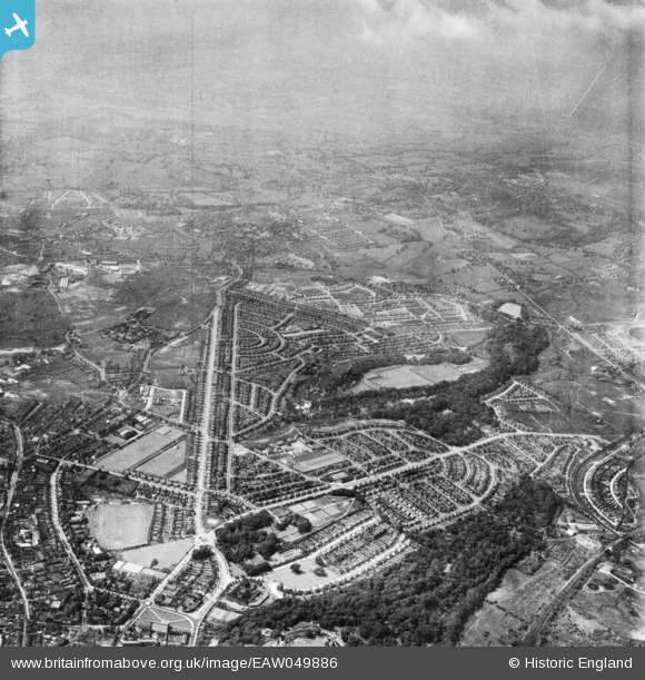
EAW049886 ENGLAND (1953). The Priory and Wren's Nest Estates, Dudley, from the south-east, 1953
© Copyright OpenStreetMap contributors and licensed by the OpenStreetMap Foundation. 2026. Cartography is licensed as CC BY-SA.
Nearby Images (3)
EAW049886

EAW049881

EAW049885

Details
| Title | [EAW049886] The Priory and Wren's Nest Estates, Dudley, from the south-east, 1953 |
| Reference | EAW049886 |
| Date | 11-June-1953 |
| Link | |
| Place name | DUDLEY |
| Parish | |
| District | |
| Country | ENGLAND |
| Easting / Northing | 394153, 291123 |
| Longitude / Latitude | -2.0861761056771, 52.51759378848 |
| National Grid Reference | SO942911 |
Pins
Be the first to add a comment to this image!