
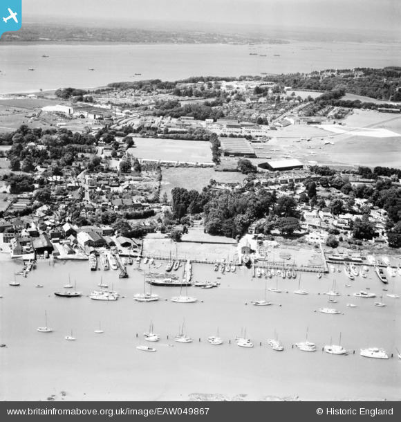
EAW049867 ENGLAND (1953). The waterfront and village, Hamble-le-Rice, from the east, 1953
© Copyright OpenStreetMap contributors and licensed by the OpenStreetMap Foundation. 2026. Cartography is licensed as CC BY-SA.
Nearby Images (11)
EAW049867

EAW049866

EAW049868

EAW049859

EAW049858

EAW049861

EAW049862

EAW049872

EAW049857

EAW049860

EAW049865

Details
| Title | [EAW049867] The waterfront and village, Hamble-le-Rice, from the east, 1953 |
| Reference | EAW049867 |
| Date | 9-June-1953 |
| Link | |
| Place name | HAMBLE-LE-RICE |
| Parish | HAMBLE-LE-RICE |
| District | |
| Country | ENGLAND |
| Easting / Northing | 448530, 106964 |
| Longitude / Latitude | -1.3103995250613, 50.859590215492 |
| National Grid Reference | SU485070 |
Pins

redmist |
Wednesday 26th of July 2023 08:57:06 PM | |
|
redmist |
Wednesday 26th of July 2023 08:56:43 PM | |
|
redmist |
Wednesday 26th of July 2023 08:50:56 PM | |
|
redmist |
Wednesday 26th of July 2023 08:50:15 PM | |
|
redmist |
Wednesday 26th of July 2023 08:49:37 PM | |
|
redmist |
Wednesday 26th of July 2023 08:49:10 PM | |
|
redmist |
Wednesday 26th of July 2023 08:48:27 PM | |
|
redmist |
Wednesday 26th of July 2023 08:44:18 PM | |
|
redmist |
Wednesday 26th of July 2023 08:42:58 PM | |
|
Kentishman |
Thursday 26th of March 2015 09:36:43 PM | |
|
Kentishman |
Thursday 26th of March 2015 09:35:49 PM |