
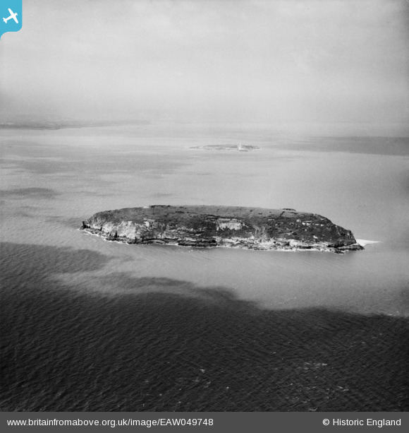
EAW049748 ENGLAND (1953). Steep Holm island, Steep Holm, 1953
© Copyright OpenStreetMap contributors and licensed by the OpenStreetMap Foundation. 2026. Cartography is licensed as CC BY-SA.
Nearby Images (7)
EAW049748

EAW049108

EAW049109

EAW049105

EAW049749

EAW049107

EAW049750

Details
| Title | [EAW049748] Steep Holm island, Steep Holm, 1953 |
| Reference | EAW049748 |
| Date | 28-May-1953 |
| Link | |
| Place name | STEEP HOLM |
| Parish | WESTON-SUPER-MARE |
| District | |
| Country | ENGLAND |
| Easting / Northing | 322783, 160718 |
| Longitude / Latitude | -3.1086719934109, 51.339797116313 |
| National Grid Reference | ST228607 |
