
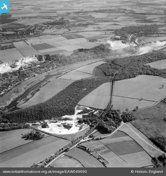
EAW049690 ENGLAND (1953). Sprotborough Plantation and environs, Sprotbrough, 1953
© Copyright OpenStreetMap contributors and licensed by the OpenStreetMap Foundation. 2026. Cartography is licensed as CC BY-SA.
Nearby Images (4)
EAW049690

EAW043497

EAW043498

EAW049688

Details
| Title | [EAW049690] Sprotborough Plantation and environs, Sprotbrough, 1953 |
| Reference | EAW049690 |
| Date | 23-May-1953 |
| Link | |
| Place name | SPROTBROUGH |
| Parish | SPROTBROUGH AND CUSWORTH |
| District | |
| Country | ENGLAND |
| Easting / Northing | 453231, 400907 |
| Longitude / Latitude | -1.1973915420933, 53.501911084625 |
| National Grid Reference | SE532009 |
Pins
Be the first to add a comment to this image!