
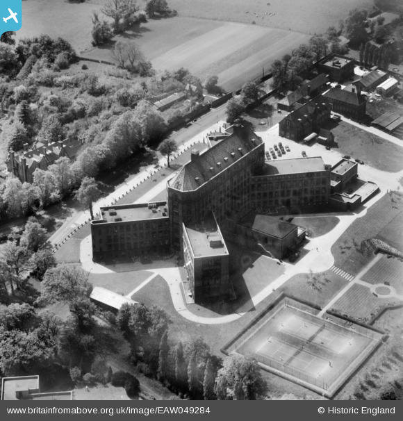
EAW049284 ENGLAND (1953). The National Institute for Medical Research Building, Mill Hill, 1953
© Copyright OpenStreetMap contributors and licensed by the OpenStreetMap Foundation. 2026. Cartography is licensed as CC BY-SA.
Nearby Images (4)
EAW049284

EAW049285

EAW049282

EAW049286

Details
| Title | [EAW049284] The National Institute for Medical Research Building, Mill Hill, 1953 |
| Reference | EAW049284 |
| Date | 13-May-1953 |
| Link | |
| Place name | MILL HILL |
| Parish | |
| District | |
| Country | ENGLAND |
| Easting / Northing | 523362, 192478 |
| Longitude / Latitude | -0.21796842350626, 51.617121384797 |
| National Grid Reference | TQ234925 |
Pins
Be the first to add a comment to this image!