
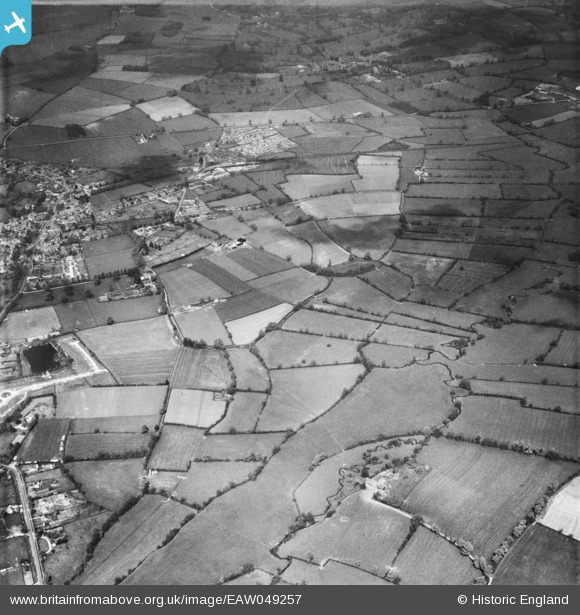
EAW049257 ENGLAND (1953). The site of Salmonsbury Camp and environs, Bourton-on-the-Water, 1953
© Copyright OpenStreetMap contributors and licensed by the OpenStreetMap Foundation. 2026. Cartography is licensed as CC BY-SA.
Nearby Images (4)
EAW049257

EAW049238

EAW049255

EAW049256

Details
| Title | [EAW049257] The site of Salmonsbury Camp and environs, Bourton-on-the-Water, 1953 |
| Reference | EAW049257 |
| Date | 12-May-1953 |
| Link | |
| Place name | BOURTON-ON-THE-WATER |
| Parish | BOURTON-ON-THE-WATER |
| District | |
| Country | ENGLAND |
| Easting / Northing | 417595, 220755 |
| Longitude / Latitude | -1.7443338066797, 51.884638280201 |
| National Grid Reference | SP176208 |
Pins
Be the first to add a comment to this image!