
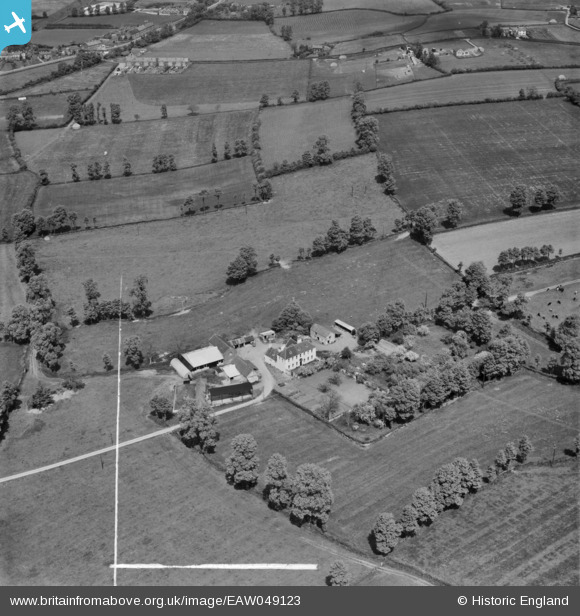
EAW049123 ENGLAND (1953). Lower Cullyhall Farm, Bitton, 1953. This image was marked by Aerofilms Ltd for photo editing.
© Copyright OpenStreetMap contributors and licensed by the OpenStreetMap Foundation. 2026. Cartography is licensed as CC BY-SA.
Nearby Images (6)
EAW049123

EAW049125

EAW049122

EAW049124

EAW049126

EAW049121

Details
| Title | [EAW049123] Lower Cullyhall Farm, Bitton, 1953. This image was marked by Aerofilms Ltd for photo editing. |
| Reference | EAW049123 |
| Date | 6-May-1953 |
| Link | |
| Place name | BITTON |
| Parish | BITTON |
| District | |
| Country | ENGLAND |
| Easting / Northing | 367870, 170931 |
| Longitude / Latitude | -2.4622814199662, 51.43597422812 |
| National Grid Reference | ST679709 |
Pins
Be the first to add a comment to this image!