
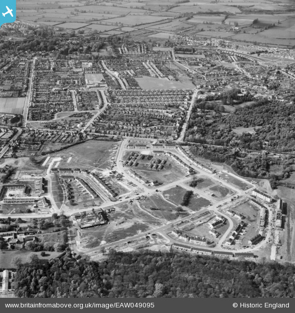
EAW049095 ENGLAND (1953). Wood Farm estate under construction and environs, New Headington, 1953
© Copyright OpenStreetMap contributors and licensed by the OpenStreetMap Foundation. 2026. Cartography is licensed as CC BY-SA.
Nearby Images (2)
EAW049095

EAW003903

Details
| Title | [EAW049095] Wood Farm estate under construction and environs, New Headington, 1953 |
| Reference | EAW049095 |
| Date | 5-May-1953 |
| Link | |
| Place name | NEW HEADINGTON |
| Parish | |
| District | |
| Country | ENGLAND |
| Easting / Northing | 455268, 206319 |
| Longitude / Latitude | -1.1992642999812, 51.752379889373 |
| National Grid Reference | SP553063 |
Pins

Stephanie (Oxford) |
Thursday 14th of October 2021 02:38:38 PM | |
|
Stephanie (Oxford) |
Thursday 14th of October 2021 02:36:45 PM | |
|
Stephanie (Oxford) |
Thursday 14th of October 2021 02:34:59 PM | |
|
Stephanie (Oxford) |
Thursday 14th of October 2021 02:33:16 PM |