
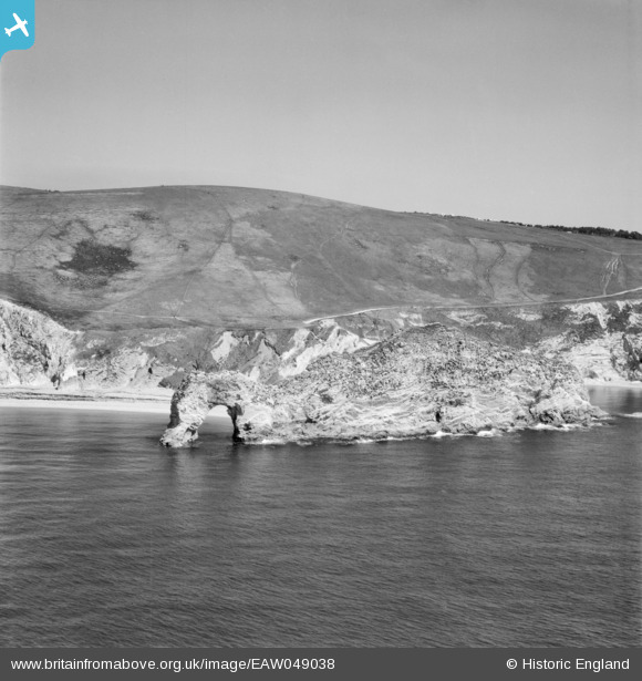
EAW049038 ENGLAND (1953). Durdle Door, Newlands Warren, from the south, 1953
© Copyright OpenStreetMap contributors and licensed by the OpenStreetMap Foundation. 2025. Cartography is licensed as CC BY-SA.
Nearby Images (4)
EAW049038

EAW049035

EAW049036

EAW049037

Details
| Title | [EAW049038] Durdle Door, Newlands Warren, from the south, 1953 |
| Reference | EAW049038 |
| Date | 4-May-1953 |
| Link | |
| Place name | NEWLANDS WARREN |
| Parish | WEST LULWORTH |
| District | |
| Country | ENGLAND |
| Easting / Northing | 380524, 80180 |
| Longitude / Latitude | -2.2753423837556, 50.620415446381 |
| National Grid Reference | SY805802 |
Pins
Be the first to add a comment to this image!