
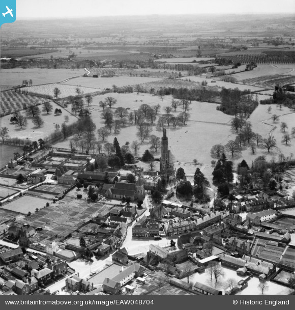
EAW048704 ENGLAND (1953). The village, Hadlow, from the north, 1953
© Copyright OpenStreetMap contributors and licensed by the OpenStreetMap Foundation. 2026. Cartography is licensed as CC BY-SA.
Nearby Images (4)
EAW048704

EAW048702

EPW060394

EAW048703

Details
| Title | [EAW048704] The village, Hadlow, from the north, 1953 |
| Reference | EAW048704 |
| Date | 8-April-1953 |
| Link | |
| Place name | HADLOW |
| Parish | HADLOW |
| District | |
| Country | ENGLAND |
| Easting / Northing | 563425, 149756 |
| Longitude / Latitude | 0.3406030953825, 51.223055909449 |
| National Grid Reference | TQ634498 |
