
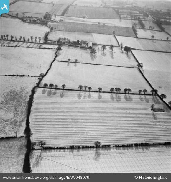
EAW048079 ENGLAND (1952). Snow covered fields to the north of Wrens Park Farm, Horndon on the Hill, 1952
© Copyright OpenStreetMap contributors and licensed by the OpenStreetMap Foundation. 2025. Cartography is licensed as CC BY-SA.
Nearby Images (4)
EAW048079

EAW048081

EAW048080

EAW048082

Details
| Title | [EAW048079] Snow covered fields to the north of Wrens Park Farm, Horndon on the Hill, 1952 |
| Reference | EAW048079 |
| Date | 15-December-1952 |
| Link | |
| Place name | HORNDON ON THE HILL |
| Parish | |
| District | |
| Country | ENGLAND |
| Easting / Northing | 567272, 184584 |
| Longitude / Latitude | 0.41204957378919, 51.53486316037 |
| National Grid Reference | TQ673846 |
Pins
Be the first to add a comment to this image!