
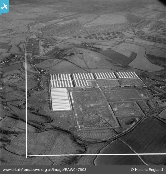
EAW047993 ENGLAND (1952). Marchington Camp and Depot, Marchington, 1952. This image was marked by Aerofilms Ltd for photo editing.
© Copyright OpenStreetMap contributors and licensed by the OpenStreetMap Foundation. 2026. Cartography is licensed as CC BY-SA.
Nearby Images (21)
EAW047993

EAW047990

EAW047991

EAW050003
, Marchington, 1953")
EAW047996

EAW048023
, Marchington, 1952. This image was marked by Aerofilms Ltd for photo editing.")
EAW050001
, Marchington, 1953")
EAW047988

EAW047992

EAW050007
, Marchington, 1953")
EAW047995

EAW047994

EAW048022
, Marchington, 1952. This image was marked by Aerofilms Ltd for photo editing.")
EAW047989

EAW049999
, Marchington, 1953")
EAW050000
, Marchington, 1953")
EAW050006
, Marchington, 1953")
EAW050004A
, Marchington, 1953")
EAW050002
, Marchington, 1953")
EAW050004
, Marchington, 1953")
EAW049998
 and the village, Marchington, 1953")
Details
| Title | [EAW047993] Marchington Camp and Depot, Marchington, 1952. This image was marked by Aerofilms Ltd for photo editing. |
| Reference | EAW047993 |
| Date | 3-December-1952 |
| Link | |
| Place name | MARCHINGTON |
| Parish | MARCHINGTON |
| District | |
| Country | ENGLAND |
| Easting / Northing | 413564, 330172 |
| Longitude / Latitude | -1.7984772213049, 52.868531377557 |
| National Grid Reference | SK136302 |
Pins
Be the first to add a comment to this image!