
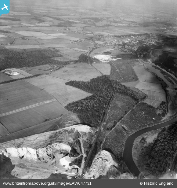
EAW047731 ENGLAND (1952). Pot Ridings Wood with Sprotbrough Quarry in the distance, Cadeby, from the south-west, 1952
© Copyright OpenStreetMap contributors and licensed by the OpenStreetMap Foundation. 2026. Cartography is licensed as CC BY-SA.
Nearby Images (5)
EAW047731

EAW047730

EAW043502

EAW043501

EAW043503

Details
| Title | [EAW047731] Pot Ridings Wood with Sprotbrough Quarry in the distance, Cadeby, from the south-west, 1952 |
| Reference | EAW047731 |
| Date | 31-October-1952 |
| Link | |
| Place name | CADEBY |
| Parish | CADEBY |
| District | |
| Country | ENGLAND |
| Easting / Northing | 452600, 400336 |
| Longitude / Latitude | -1.2070004337367, 53.496842088426 |
| National Grid Reference | SE526003 |
Pins

redmist |
Monday 21st of January 2019 08:17:15 PM |