
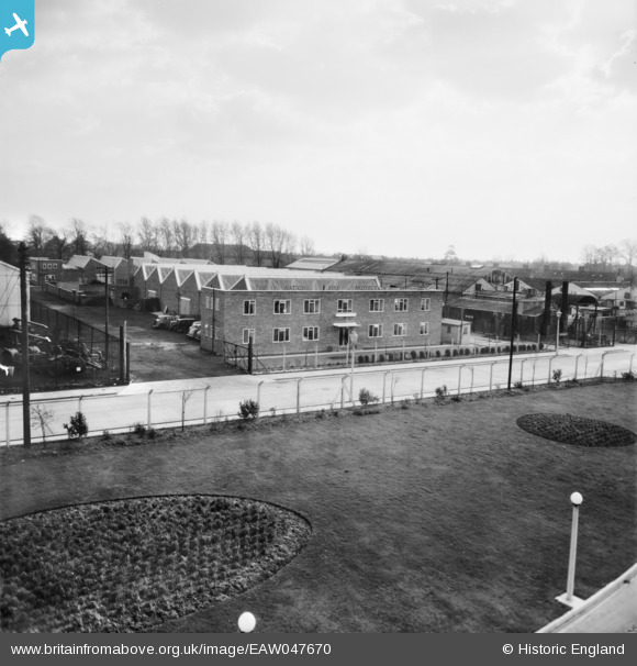
EAW047670 ENGLAND (1952). Feltham, The National Fire Protection Co. Ltd buildings, 1952
© Copyright OpenStreetMap contributors and licensed by the OpenStreetMap Foundation. 2026. Cartography is licensed as CC BY-SA.
Nearby Images (11)
EAW047670

EAW047671

EAW047673

EAW047674

EAW047672

EAW047678

EAW047676

EAW047675

EAW047677

EPW053972

EPW053971

Details
| Title | [EAW047670] Feltham, The National Fire Protection Co. Ltd buildings, 1952 |
| Reference | EAW047670 |
| Date | 3-November-1952 |
| Link | |
| Place name | FELTHAM |
| Parish | FELTHAM |
| District | |
| Country | ENGLAND |
| Easting / Northing | 510545, 174638 |
| Longitude / Latitude | -0.40863923427789, 51.459422015746 |
| National Grid Reference | TQ105746 |
Pins
Be the first to add a comment to this image!