
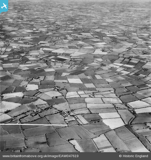
EAW047619 ENGLAND (1952). Farmland surrounding Church Farm in Linstead Magna, Linstead Hall, 1952. This image was marked by Aerofilms Ltd for photo editing.
© Copyright OpenStreetMap contributors and licensed by the OpenStreetMap Foundation. 2025. Cartography is licensed as CC BY-SA.
Nearby Images (3)
EAW047619

EAW047622

EAW047621

Details
| Title | [EAW047619] Farmland surrounding Church Farm in Linstead Magna, Linstead Hall, 1952. This image was marked by Aerofilms Ltd for photo editing. |
| Reference | EAW047619 |
| Date | 23-October-1952 |
| Link | |
| Place name | LINSTEAD HALL |
| Parish | LINSTEAD MAGNA |
| District | |
| Country | ENGLAND |
| Easting / Northing | 630974, 276780 |
| Longitude / Latitude | 1.3910596444232, 52.339990158429 |
| National Grid Reference | TM310768 |
Pins
Be the first to add a comment to this image!