
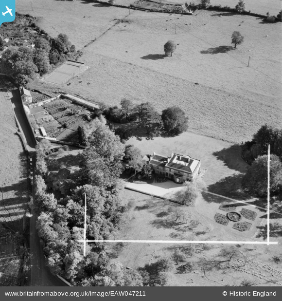
EAW047211 ENGLAND (1952). Parish's House, Timsbury, 1952. This image was marked by Aerofilms Ltd for photo editing.
© Copyright OpenStreetMap contributors and licensed by the OpenStreetMap Foundation. 2025. Cartography is licensed as CC BY-SA.
Nearby Images (4)
EAW047211

EAW047210

EAW047209

EAW047208

Details
| Title | [EAW047211] Parish's House, Timsbury, 1952. This image was marked by Aerofilms Ltd for photo editing. |
| Reference | EAW047211 |
| Date | 9-October-1952 |
| Link | |
| Place name | TIMSBURY |
| Parish | TIMSBURY |
| District | |
| Country | ENGLAND |
| Easting / Northing | 367377, 158703 |
| Longitude / Latitude | -2.4682509943568, 51.325987115938 |
| National Grid Reference | ST674587 |
Pins
Be the first to add a comment to this image!